Print a Map
When you print a map, you have several options that make it possible to set up precisely how your map should be printed, including the layout, format, resolution, and scale. You can also add a grid to the printed map that is based on either map measurements or Latitude and Longitude.
To print a map:
- Do one of the following:
- On the toolbar, click Print Map.
In the I Want To menu, click Create a Printable Map.
The Print Map dialog opens.

Options for printing the map in the Print Map dialog box
- Select any of the following options:
- Select Layout: Choose either 11" X 17" Landscape (if available) or 8.5" X 11" Landscape. The layouts on your map may have different options.
- Output Format: Choose Pdf, Png, Jpeg, Gif, Bmp, or Tiff format. The Output Formats available can change depending on which Layout you select.
- Resolution: Choose either Low, Medium, or High resolution.
- Grid: Add a printed grid with coordinates to the map. This setting may not appear if there are no grids available.
- Map Scale: Choose any of the following:
- Custom Scale: Type in a scale to use when you print the map.
- Current Scale: Prints the map in the scale the map is currently using.
- Current Extent: Adjusts the scale to ensure that the whole viewable map is printed.
- Specific preset scale options: Use the specific scale you select from the list.
-
To preview or adjust the extent to print, click Preview Extent.
The Preview Extent button does not show you a conventional preview. It displays the extent of the map that will print so that you can adjust it if you need to.
A transparent overlay appears on the map to show you the extent that will print. You can drag the map behind the overlay to adjust the position of the print extent.

When the Extent Preview is active, you can only zoom the map in as far as the Map Scale you select in the Print Map dialog. For example, if you type in a custom extent of 1:50,000, you will not be able to zoom in beyond 1:50,000.
When you Extent Preview is active and you zoom the map, the scale at which the map will print does NOT change. The extent preview adjusts its size to match the Map Scale you select.
-
Click Print.
When your file is ready to print, a Print Request dialog displays.

-
Click Open File.
Depending on your choice of file format, the file opens in your PDF Reader or in your Browser window.
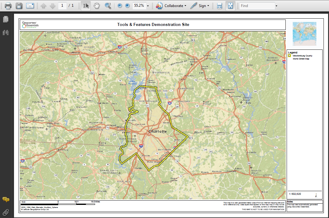
PDF print file open in Adobe Reader
- Do one of the following:
- In Adobe Reader, click the Print icon, and then click OK.
- In your browser, click File | Print, and then click OK.
- In a browser with no File menu, right-click the title bar, select Print from the title bar, and then click the Print button.
See also...